
DEC 2024 — JUL 2025 · 11,750 NM
Keeldragger's Great Pacific Adventure
One boat. One ocean. Nine salty months.
California to Mexico, single-handed to the Marquesas, on through the Tuamotus to Tahiti — then Hawaiʻi and home to Catalina, aboard a 1988 Valiant 40.
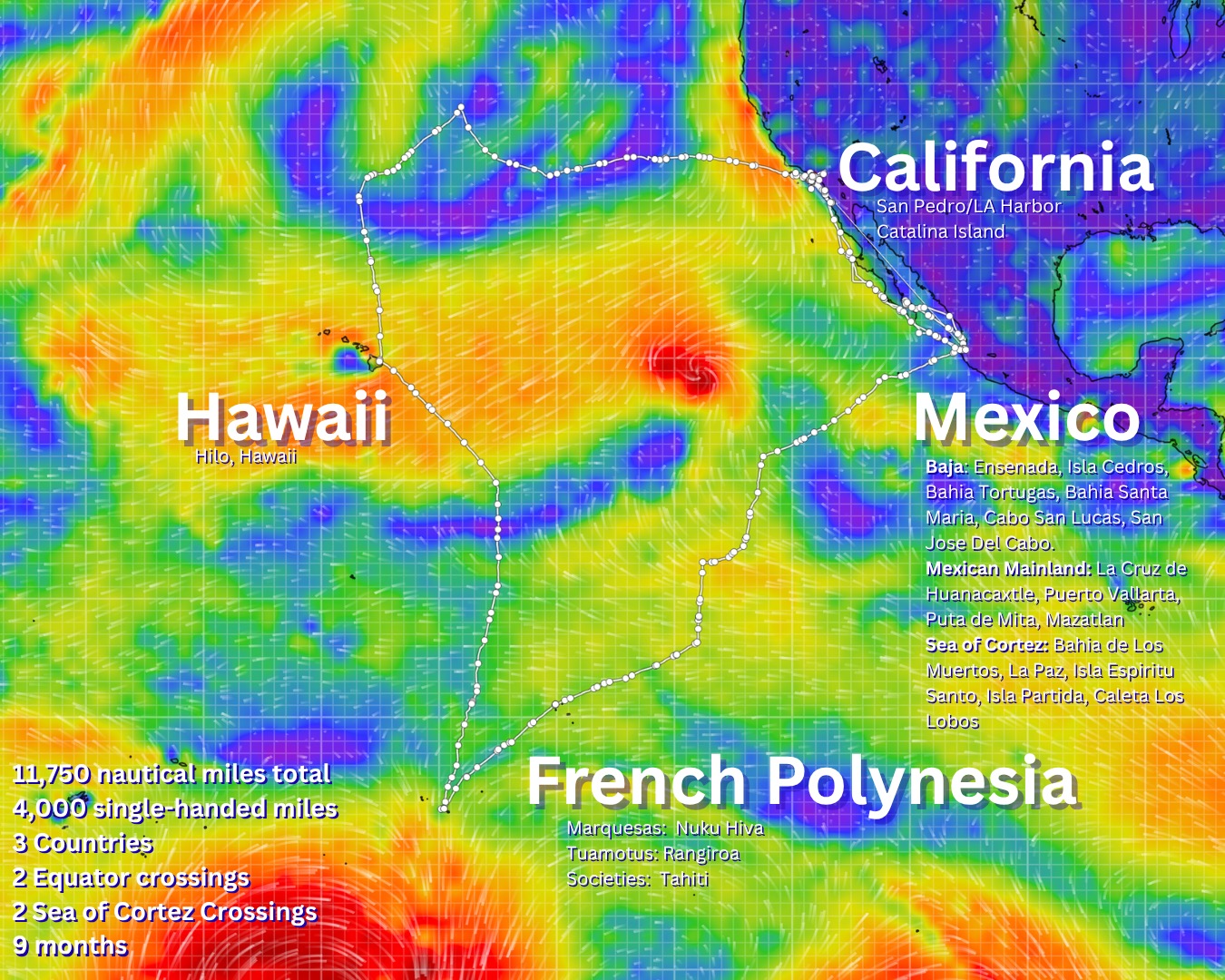
CALIFORNIA → MEXICO → FRENCH POLYNESIA → HAWAIʻI → CALIFORNIA ⚓ 11,750 NM
The route, in five chapters
FULL LOG ON SUBSTACK →01 · THE START
California
Cast off from San Pedro, down the coast past the islands Keeldragger knows best.
WATCH THE LEG →
02 · CREWED + SOLO
Mexico
Down Baja to Banderas Bay, then a winter cruising the Sea of Cortez — La Paz, Espíritu Santo, and back.
WATCH THE LEG →
03 · SINGLE-HANDED
French Polynesia
The Puddle Jump: PV to Nuku Hiva alone across ~2,850 NM, then solo on to Rangiroa and Tahiti.
WATCH THE CROSSING →
04 · CREWED
Hawaiʻi
Tahiti to Hilo with crew — a second equator crossing, northbound on the trades.
WATCH THE LEG →
05 · HOME
California
Hilo to Two Harbors, Catalina — the long reach home to the mooring where it all began.
WATCH THE LEG →
NEW · FREE · 24/7
The Keeldragger Sailing Line
Passage briefings, live buoy reports, weather, and Navy range closures for the Southern California Bight and Channel Islands — in a phone call. No app, no account, works on one bar of signal. It even answers in the captain's voice.
AUTOMATED SERVICE · NOT FOR EMERGENCIES — USE VHF 16 OR CALL THE COAST GUARD
THE BOAT
Keeldragger
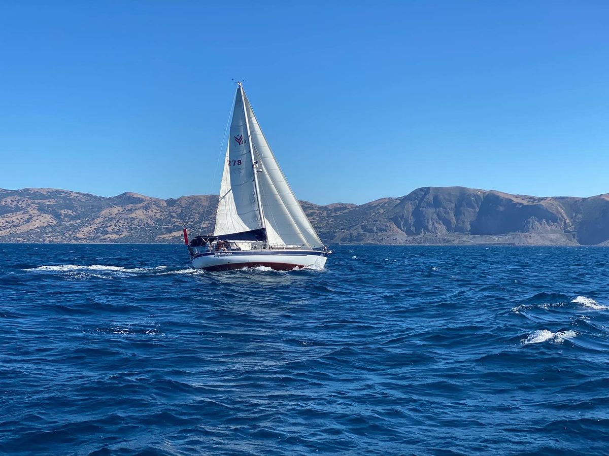
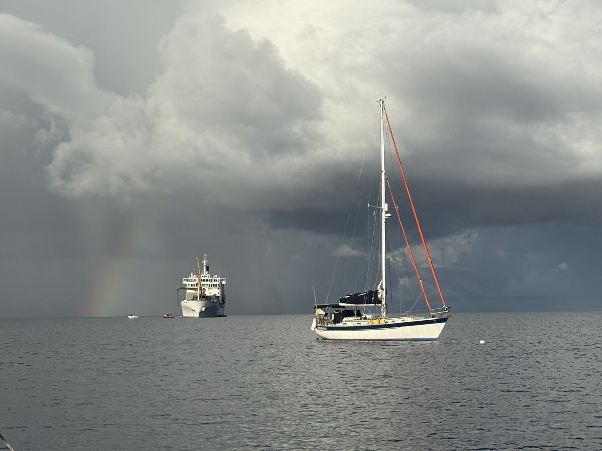
A 1988 Texas-built Valiant 40 — the classic Bob Perry bluewater cruiser, with a well-earned reputation as a serious offshore passagemaker. She's carried her captain 11,750 miles across the Pacific and back, much of it with no one else aboard.
Before the circuit she was refitted stem to stern: new standing rigging with Dyneema backstays, offshore sails with a third reef cut deep enough to stand in for a storm trysail, a new Beta 35 diesel, a lithium house bank under 700 watts of solar, a new Hydrovane windvane, and a full NMEA 2000 nav suite — radar, AIS, and satellite comms included.
Follow along, every mile
PICK YOUR CHANNELYouTube
Every leg on film — passages, breakdowns, landfalls.
YOUTUBE.COM/KEELDRAGGER →
Substack
The written log: Keeldragger Sailing & the Great Pacific Adventure.
KEELDRAGGER.SUBSTACK.COM →
Anchorages, wildlife, and boat life between episodes.
@KEELDRAGGER →
Where is Keeldragger now?
Live position, track, and conditions via PredictWind satellite tracking.
THE APPS
Tools for your own adventures
Keeldragger Sailing SoCal
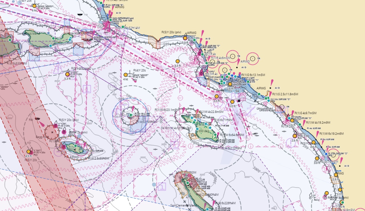
The home-waters companion: charts, weather, tides, depth, marine advisories, Navy range closures, notices to mariners, and passage planning for the Southern California Bight and the Channel Islands — Catalina included — with AIS traffic on the chart when your boat's own gateway feeds the app. Free on the App Store for iPhone and iPad, and in any browser on the web. The Mac version is on its way.

Keeldragger Offshore Sailing Toolkit
Prepare the boat. Plan the passage. Post it at the nav station. An Offshore Readiness Checklist, Float Plan, Watch Bill, and Emergency Cards — built together, kept in sync, and printed as one packet. Free for iPhone, iPad & Mac.
The sailing community taught me most of what's in this toolkit — building it is my way of giving something back.
Get the Toolkit → OR USE THE TOOLKIT ON THE WEB →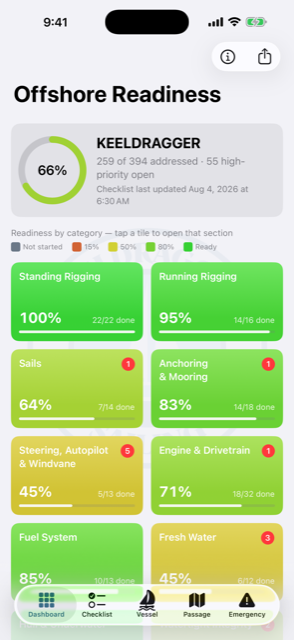
The sailor behind the keel
Mark A. Bunch, Sr. learned to race on midwest lakes and moved to Southern California for bigger horizons. Six boats — Catalina 22, Tartan 27, Star, Fuji 35, Dana 24, and the Valiant 40 — and 25,000 miles later, fifteen thousand of them offshore, he's still dragging keels across the Pacific.

Join the crew
Your likes, subscriptions, and comments keep the channel sailing — and mean the world. If you're inclined to chip in for the next passage, financial support is humbly accepted through any of these.